Log in
All resources
Create a design
33,716 Free Images of 1550 Maps
maps made in the 17th century
maps by pieter schenk (i)
gerard valck
atlantis magni tomus quartus (biblioteca comunale di trento)
atlantis magni tomus quintus (biblioteca comunale di trento)
maps made in the 18th century
johann baptist homann
1501-1550 paintings
maps with cartouches
atlas van der hagen
maps with cartouches
covens en mortier
amsterdam in the 1680s
maps with cartouches
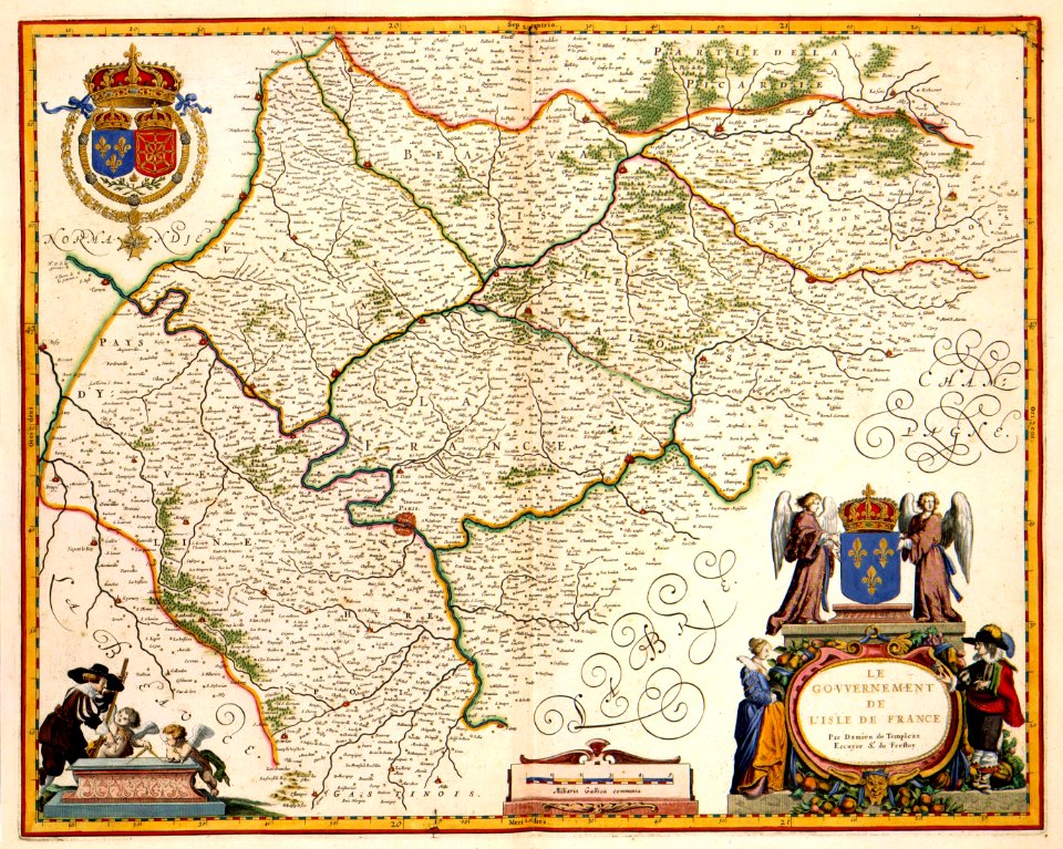
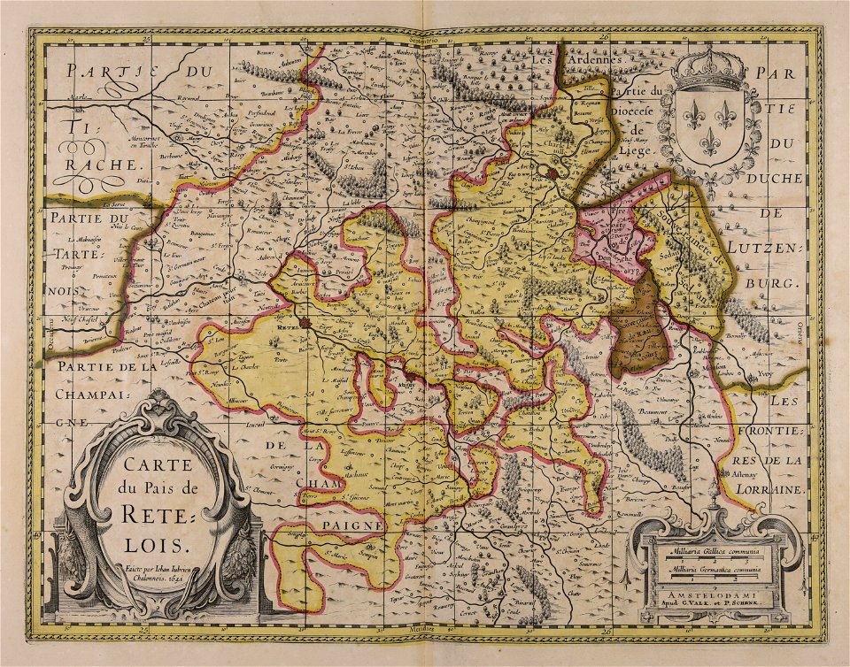
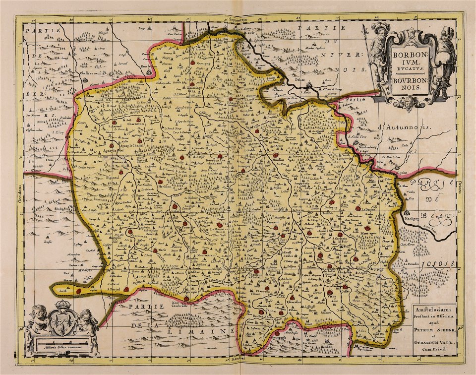
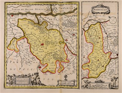
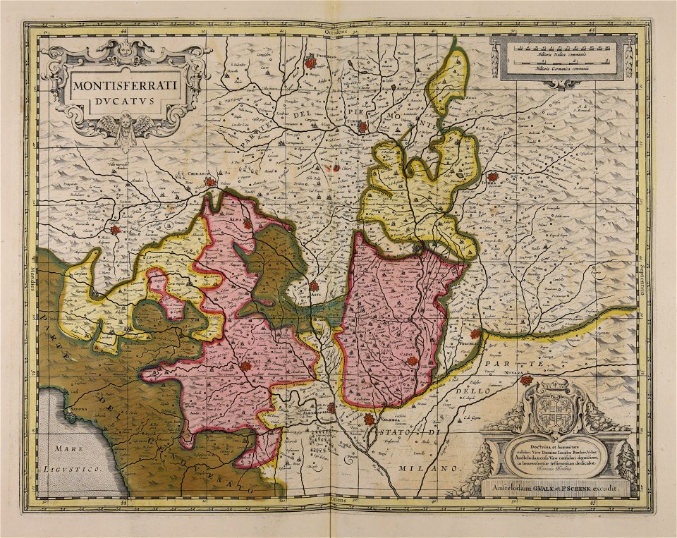
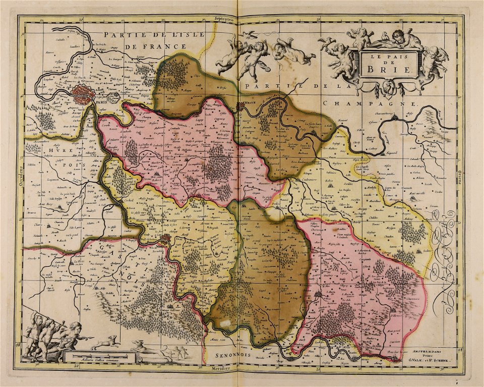
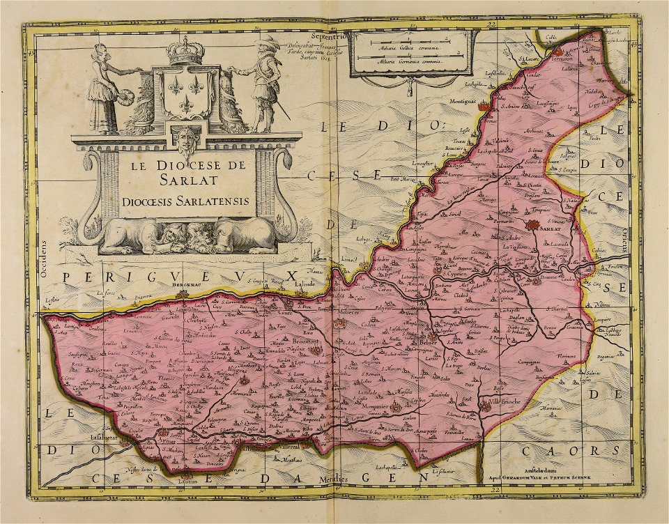
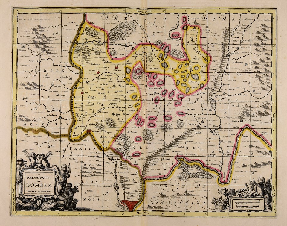
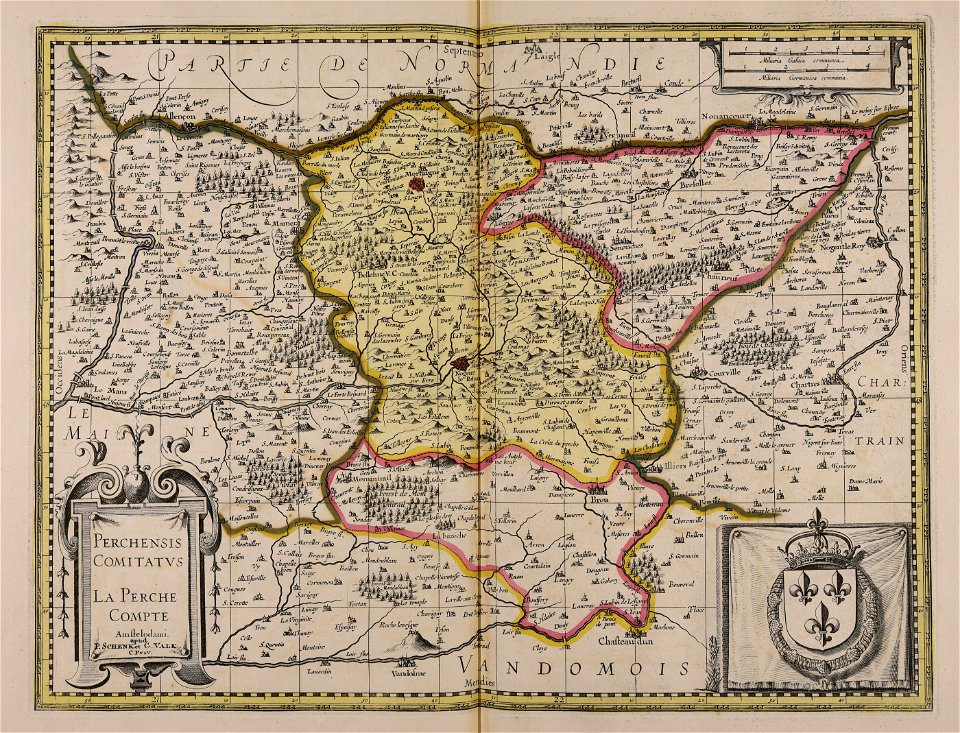
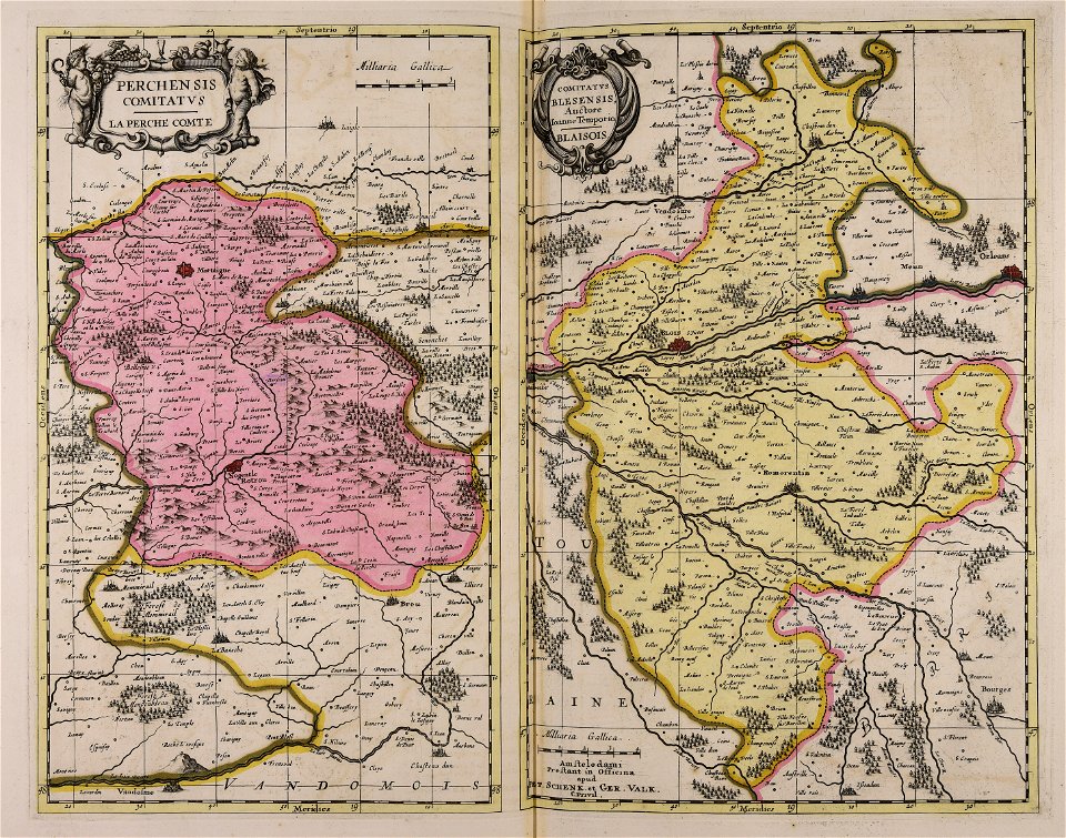
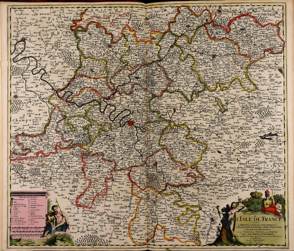
17th-century maps of france
maps with cartouches
maps made in the 17th century
gerard valck
maps of the united kingdom of great britain and ireland
ireland in the 1900s
maps made in the 18th century
maps by pieter schenk (i)
collections de la bibliothèque nationale et universitaire de strasbourg
johann baptist homann
mobile river
alabama
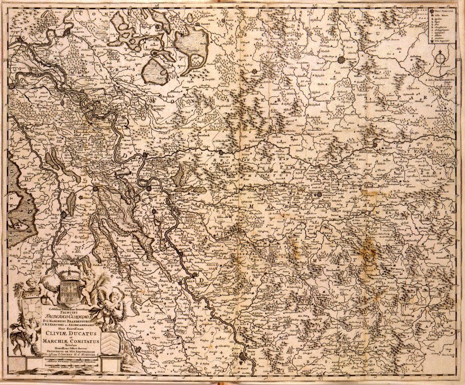
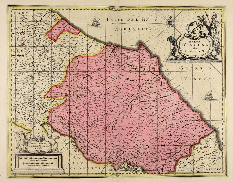
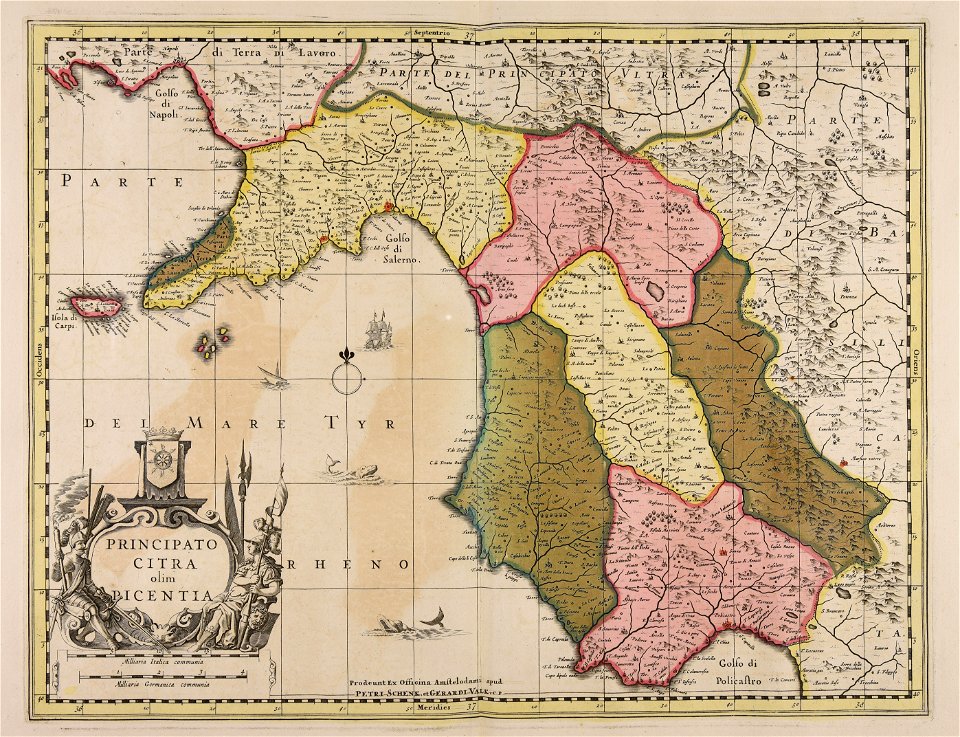
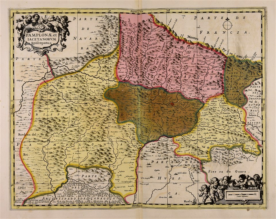
maps made in the 17th century
gerard valck
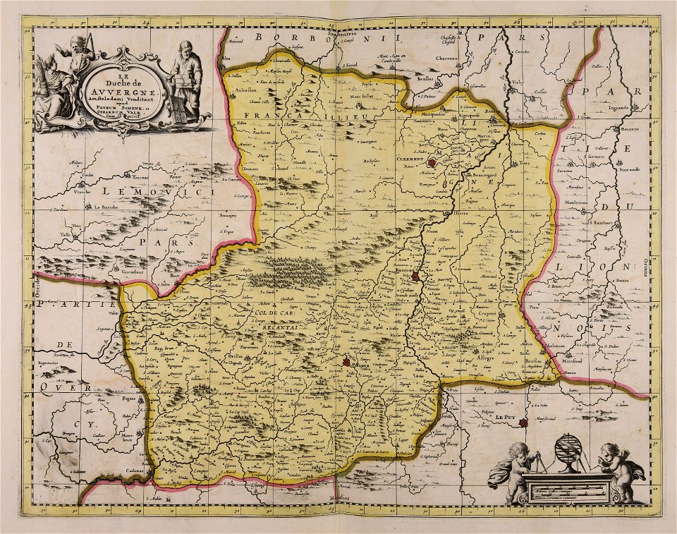
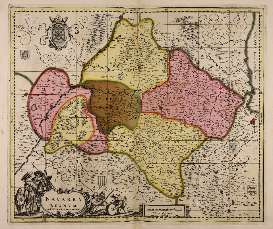
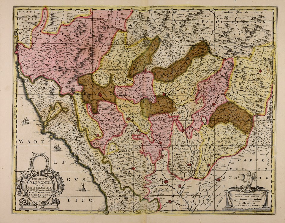
maps made in the 17th century
gerard valck
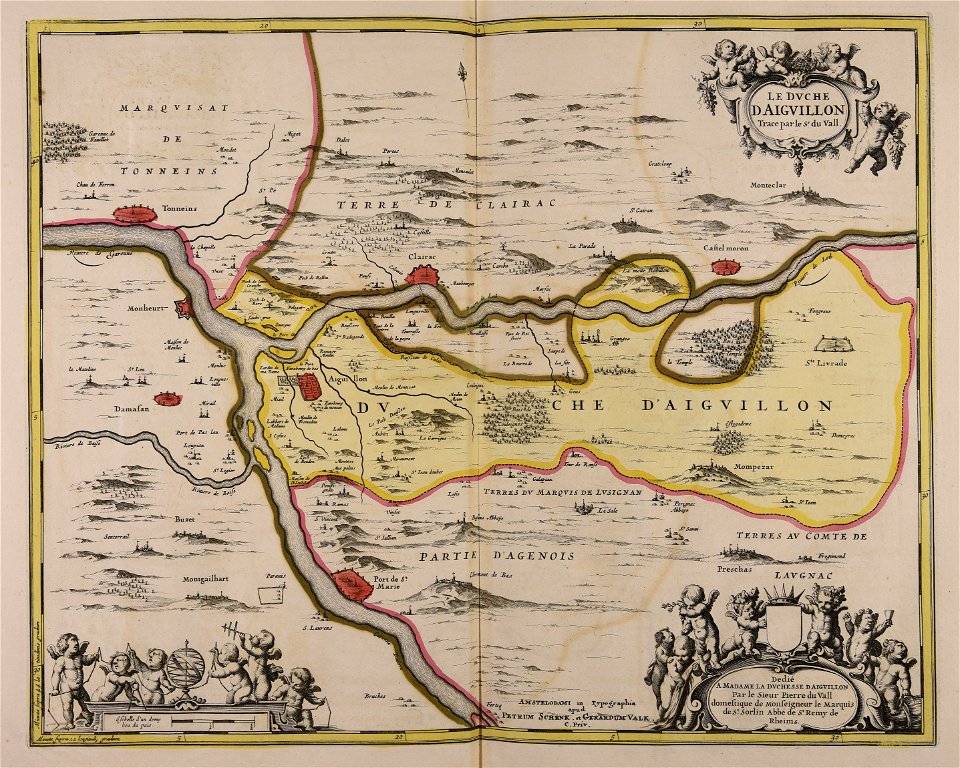
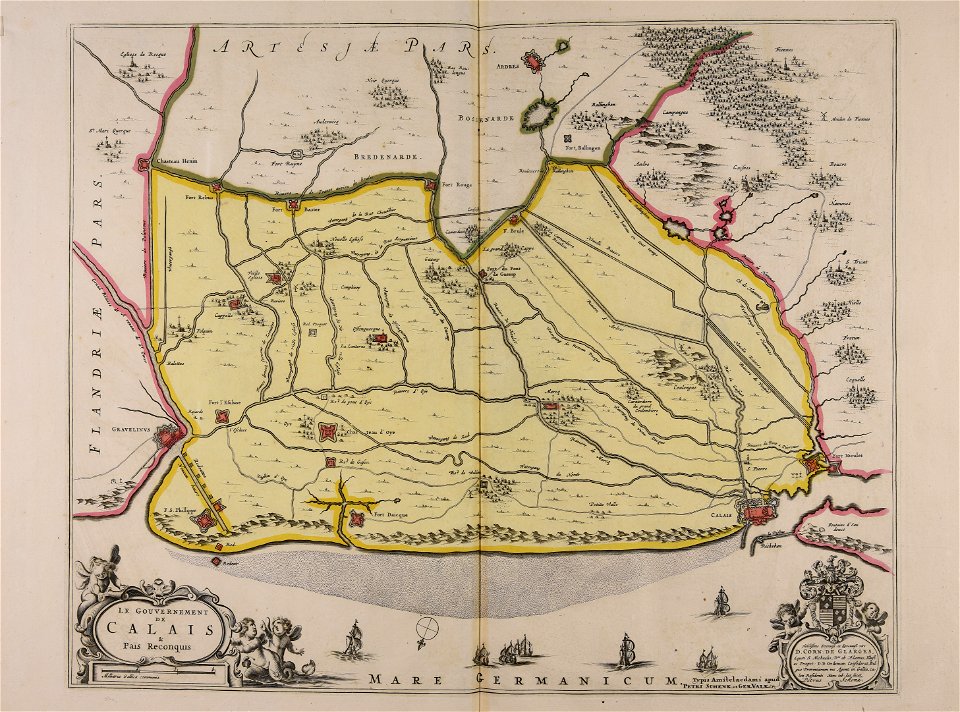
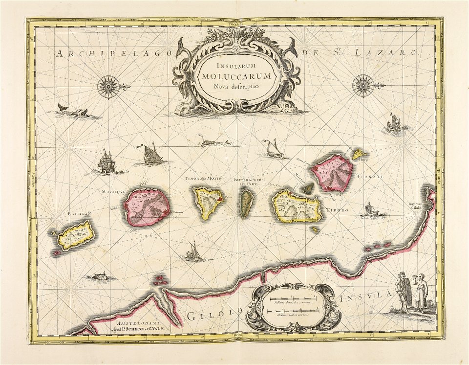
maps made in the 17th century
gerard valck
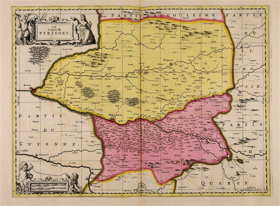
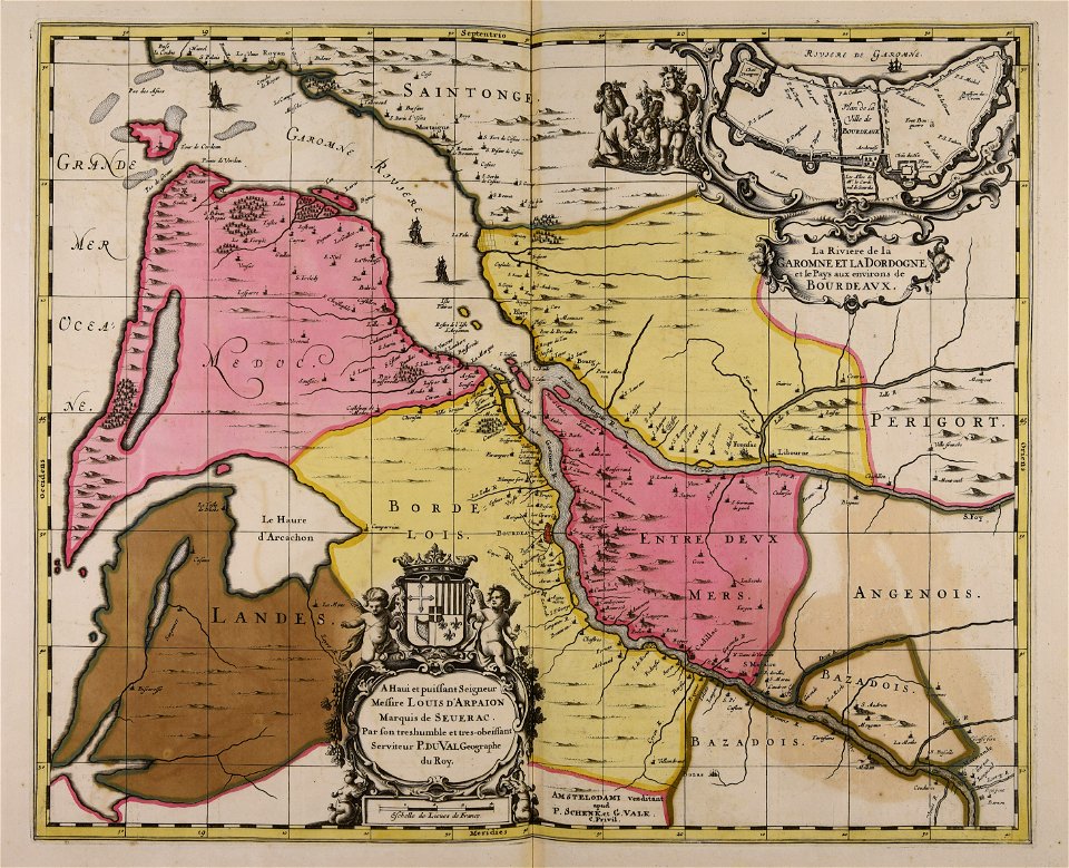
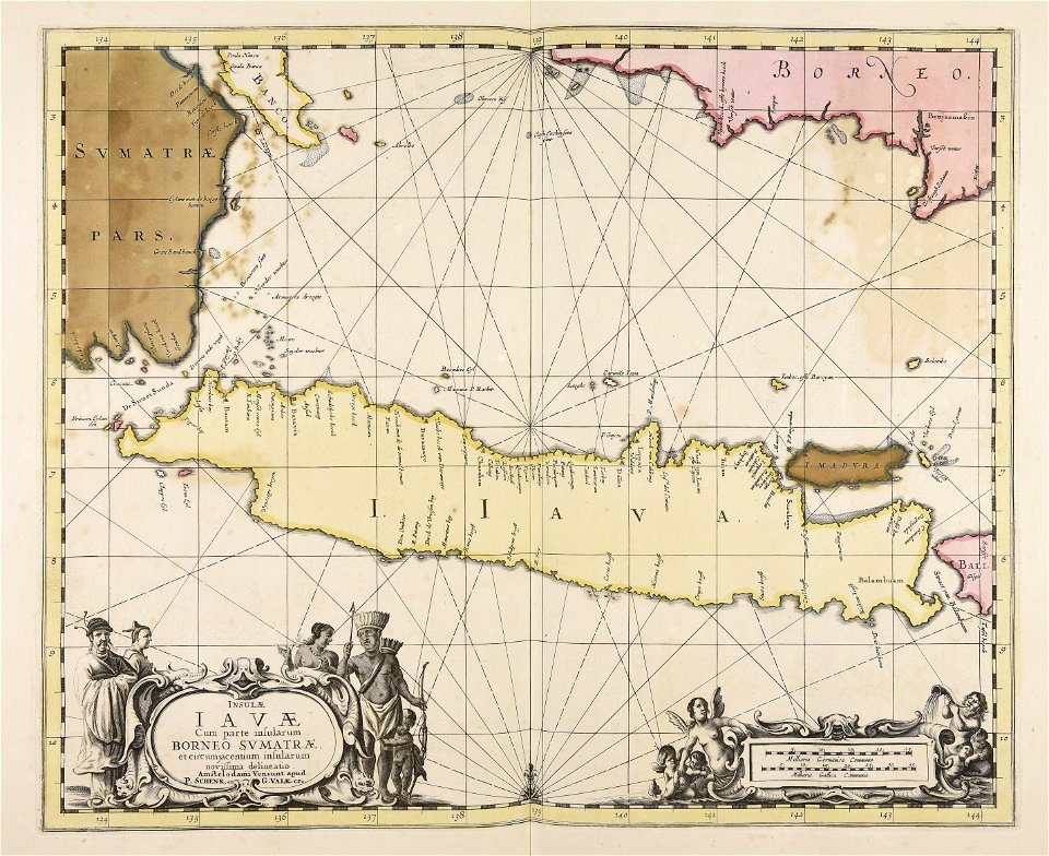
maps made in the 17th century
gerard valck
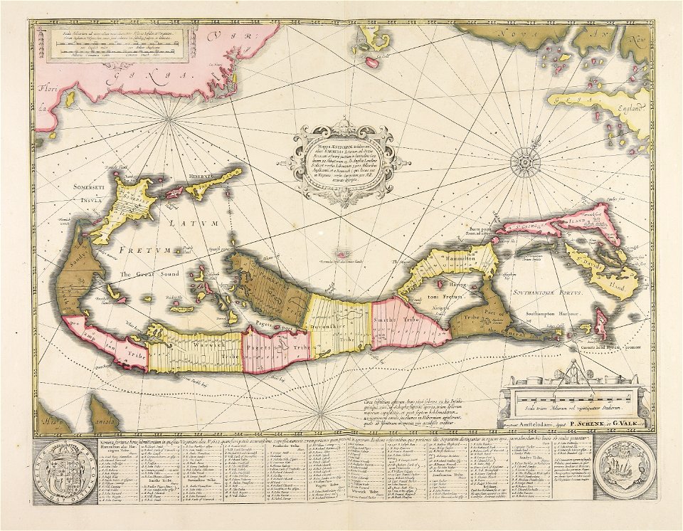
maps made in the 17th century
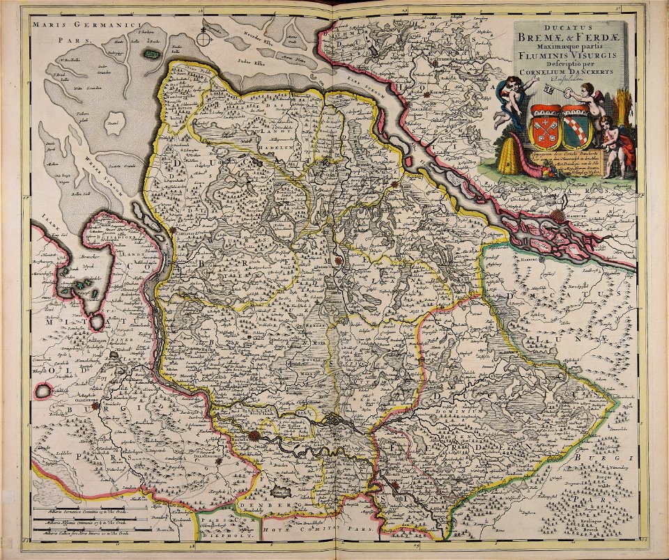
cornelis danckerts (ii)
maps made in the 17th century
gerard valck
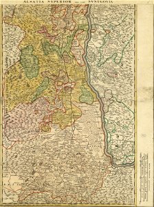
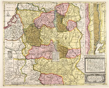
bishopric of constance
1779 in germany
maps made in the 17th century
gerard valck
maps made in the 17th century
gerard valck
maps made in the 17th century
gerard valck
jean-baptiste martenot
old maps of rennes
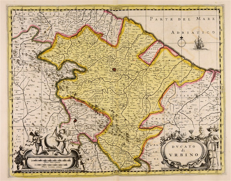
sala del mappamondo (palazzo vecchio)
ignazio danti
maps made in the 17th century
guillaume sanson
maps made in the 17th century
guillaume sanson
maps made in the 17th century
gerard valck
maps made in the 17th century
gerard valck
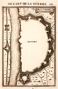
prints from manesson travaux de mars at the peace palace library
fortifications in belgium
maps made in the 17th century
gerard valck
maps made in the 17th century
gerard valck
maps made in the 17th century
gerard valck
maps made in the 17th century
gerard valck
maps made in the 17th century
gerard valck
maps made in the 17th century
gerard valck
maps made in the 17th century
gerard valck
maps made in the 17th century
gerard valck
maps made in the 17th century
gerard valck
maps made in the 17th century
gerard valck
maps made in the 17th century
gerard valck
old maps of frankfurt am main
johann baptist homann
old maps of north rhine-westphalia
lower rhine region
maps of antwerp city walls
old maps of antwerp
maps made in the 17th century
gerard valck
maps made in the 17th century
gerard valck
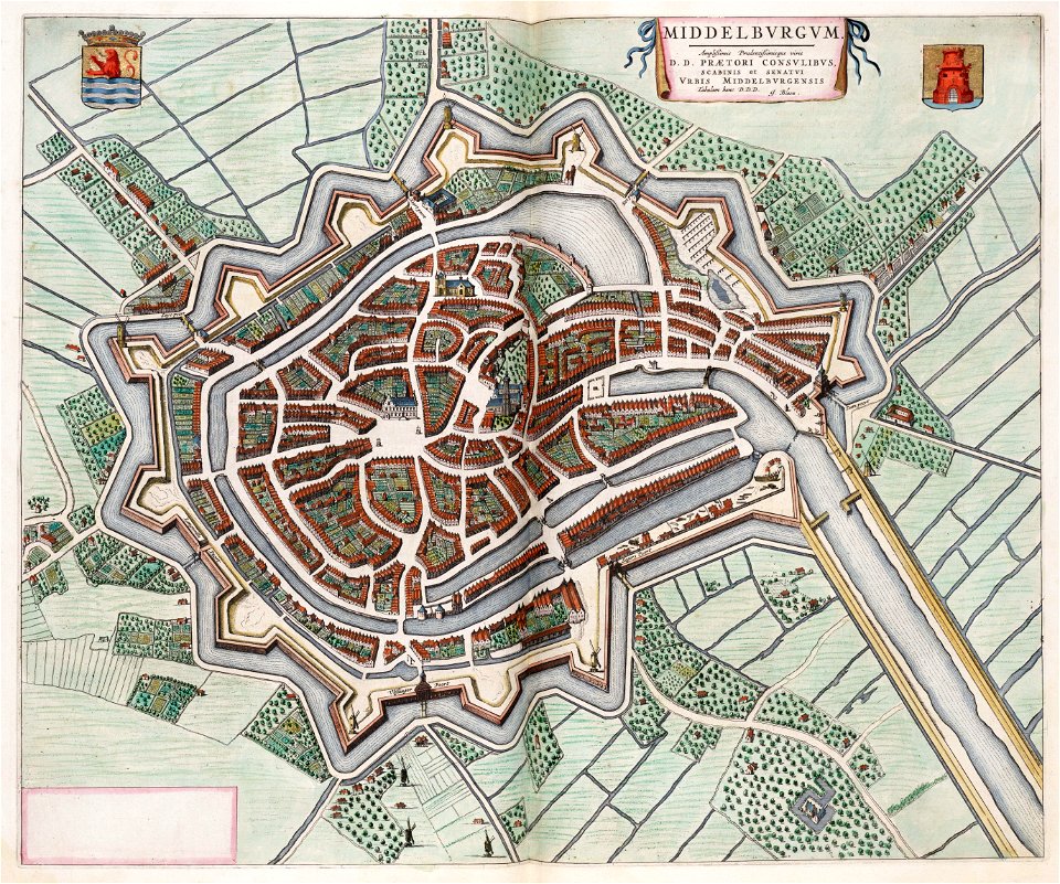
maps by willem and johannes blaeu
coats of arms of zeeland
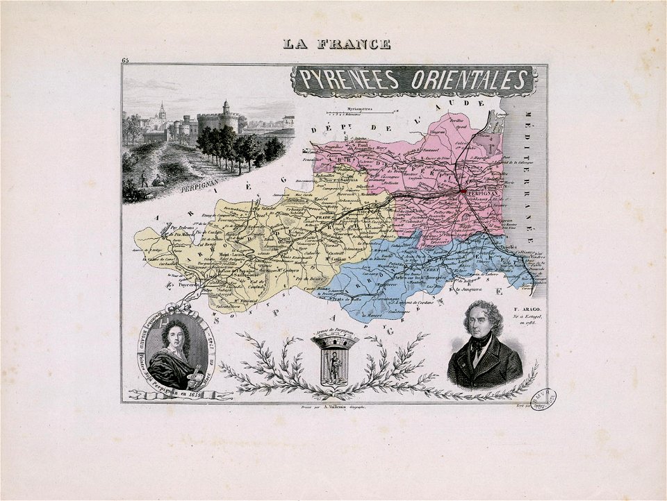
hyacinthe rigaud
françois arago
maps made in the 17th century
gerard valck
maps showing history
corfu
maps made in the 17th century
gerard valck
maps made in the 17th century
gerard valck
maps showing history
corfu
maps made in the 17th century
gerard valck
old maps of north brabant
old maps of south holland
old maps of south holland
merwede
maps made in the 17th century
gerard valck
maps made in the 17th century
gerard valck
maps made in the 17th century
gerard valck
1780 in south america
1780 maps
atlantis magni tomus quartus (biblioteca comunale di trento)
maps made in the 17th century
engravings of topographia saxoniae inferioris
maps of hamburg-langenhorn
maps made in the 17th century
gerard valck
maps made in the 17th century
gerard valck
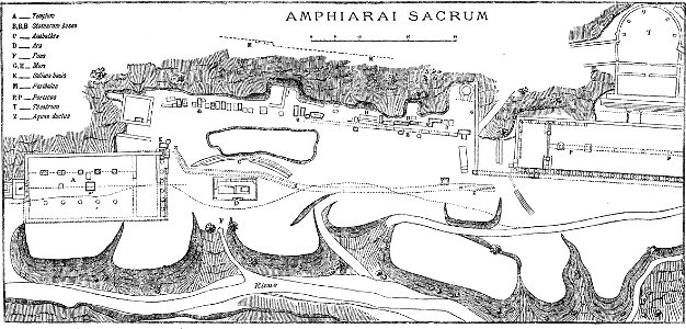
paulys realencyclopädie der classischen altertumswissenschaft band i
2
maps made in the 17th century
gerard valck
maps made in the 17th century
gerard valck
atlantis magni tomus quintus (biblioteca comunale di trento)
maps made in the 17th century
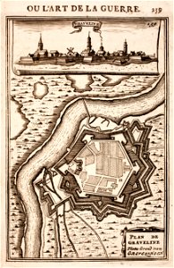
prints from manesson travaux de mars at the peace palace library
fortifications in france
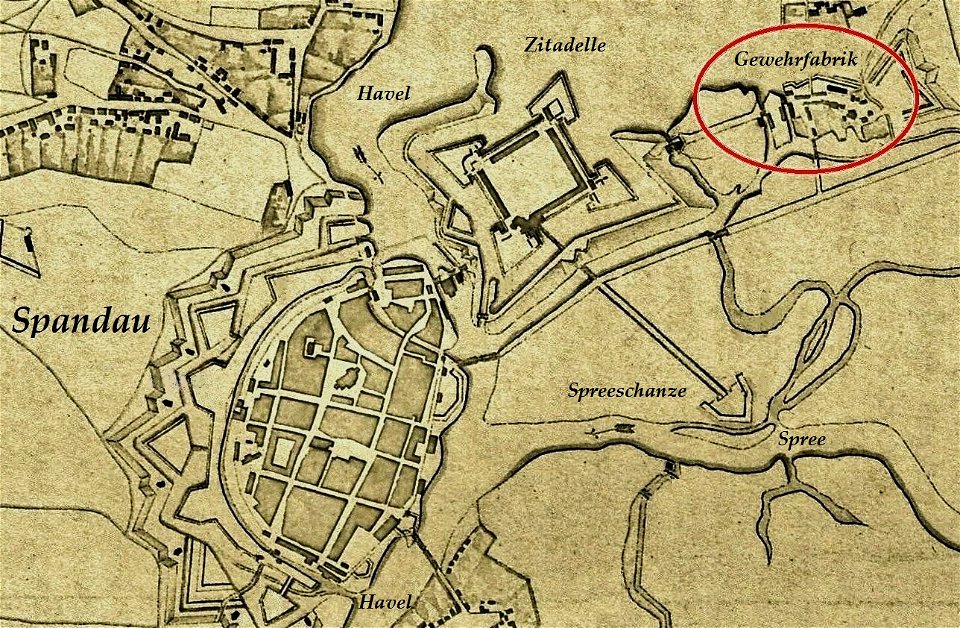
historical documents of the spandau citadel
festung spandau
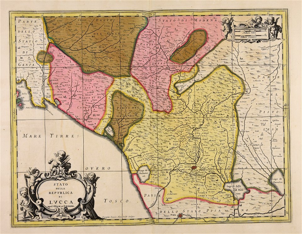
republic of lucca
gerard valck
maps made in the 18th century
johann baptist homann
maps made in the 17th century
gerard valck
maps made in the 17th century
gerard valck
maps made in the 17th century
gerard valck
maps made in the 17th century
gerard valck
maps made in the 18th century
gerard valck
maps made in the 17th century
gerard valck
maps made in the 18th century
gerard valck
maps made in the 17th century
cornelis danckerts (i)
maps made in the 17th century
gerard valck
maps made in the 18th century
terra santa
paintings by sofonisba anguissola in the uffizi gallery
mannerism,renaissance
copper engraving
maps
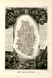
coats of arms of cities in alpes-de-haute-provence
pierre gassendi
coats of arms of cities in meuse
nicolas oudinot (1767–1847)
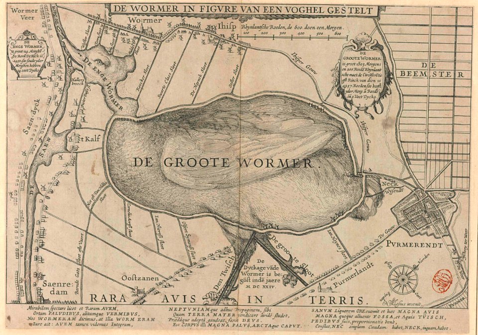
animal shape
purmerend
dendermonde
lillo
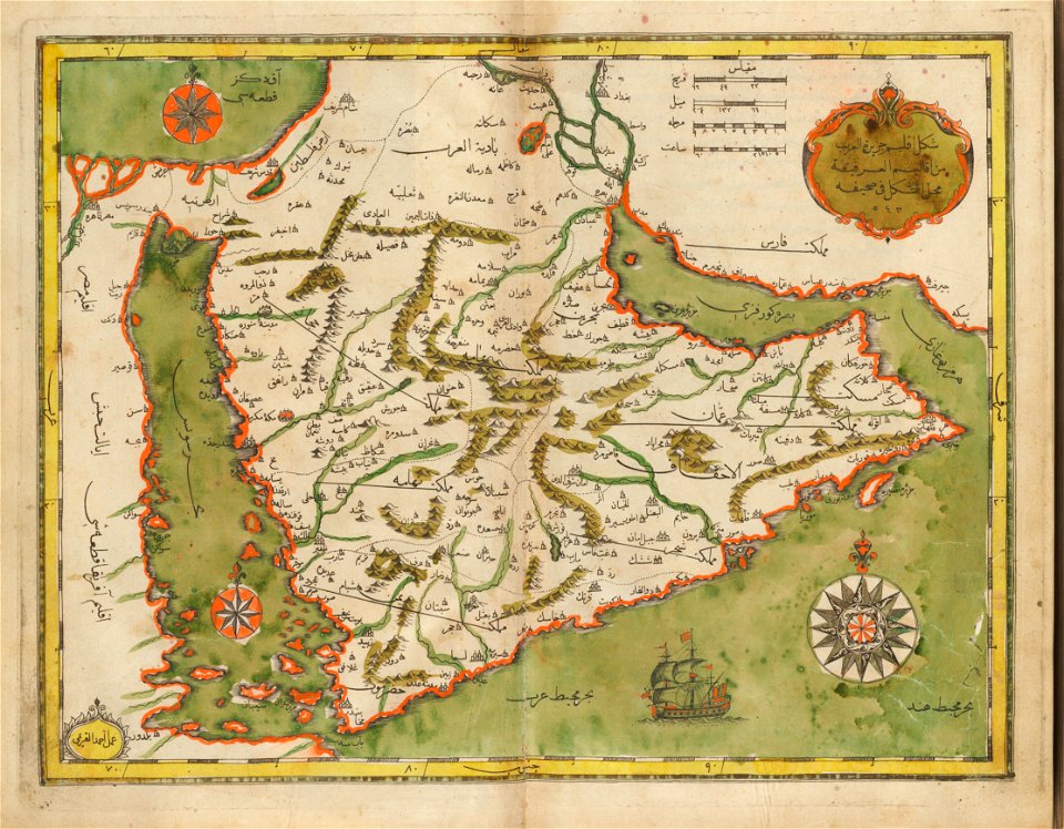
old maps of the middle east
harvard university
new market square in rzeszów
maps of 18th-century europe
maps from the mechanical curator collection available to georeference
maps from the mechanical curator collection
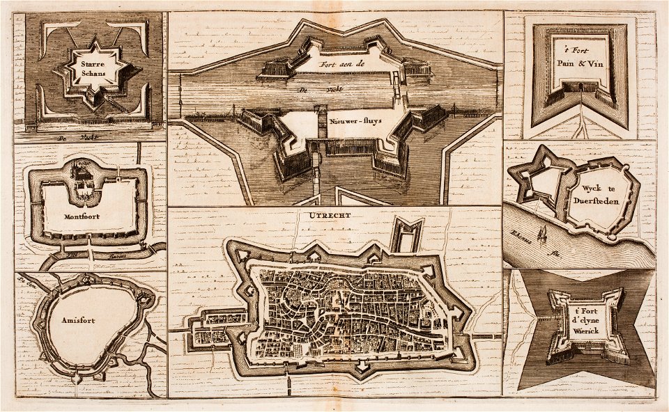
fortifications in the netherlands
wijk bij duurstede
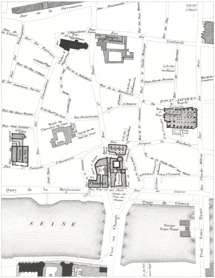
lithographs of paris
grand châtelet
still-life paintings of flowers in glass vases by daniël seghers
baroque paintings in the staatsgalerie bamberg
17th-century still-life paintings of flowers in glass vases
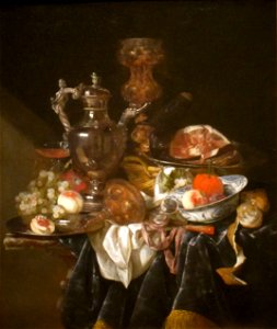
1660s paintings
facing left and looking left
females blushing
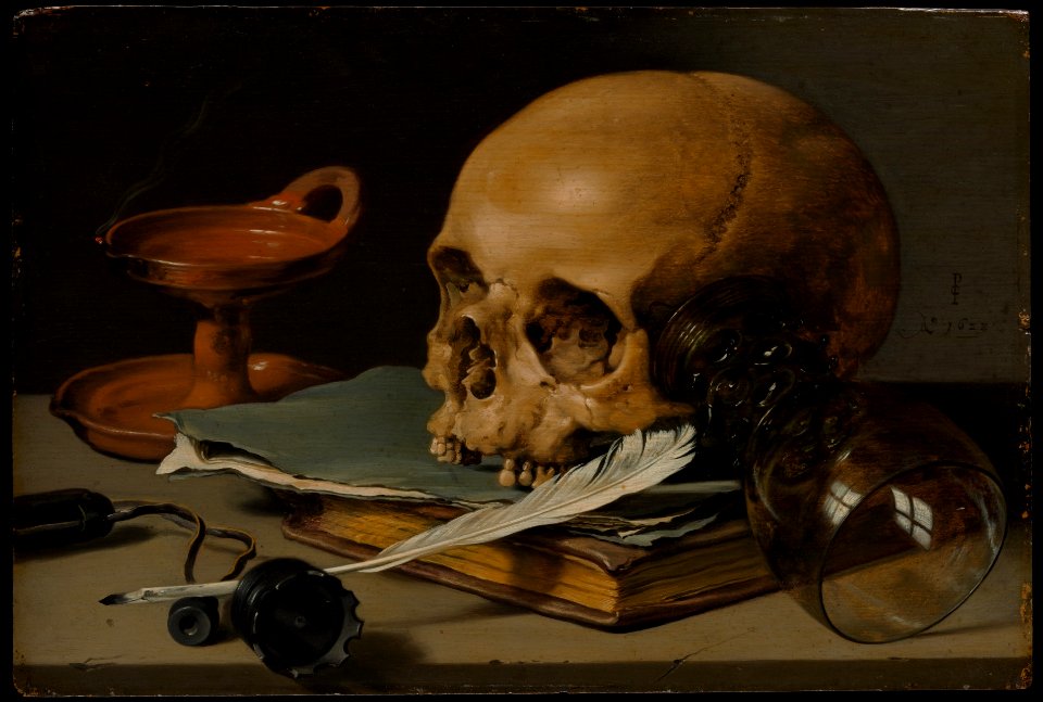
17th-century still life paintings in the united states
dutch paintings in the cleveland museum of art
painters in art
oil on panel
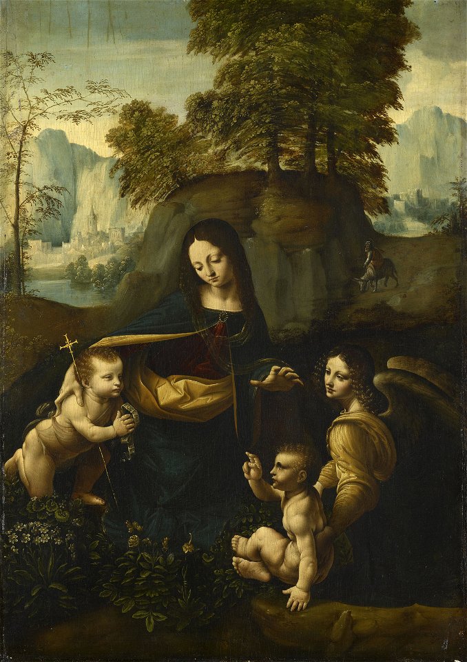
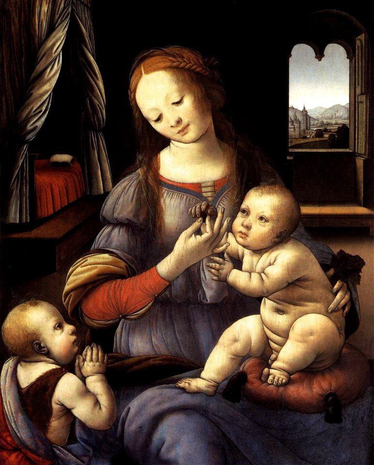
16th-century paintings of madonna and child from italy
replicas of virgin of the rocks by leonardo da vinci
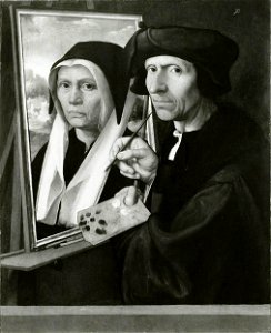
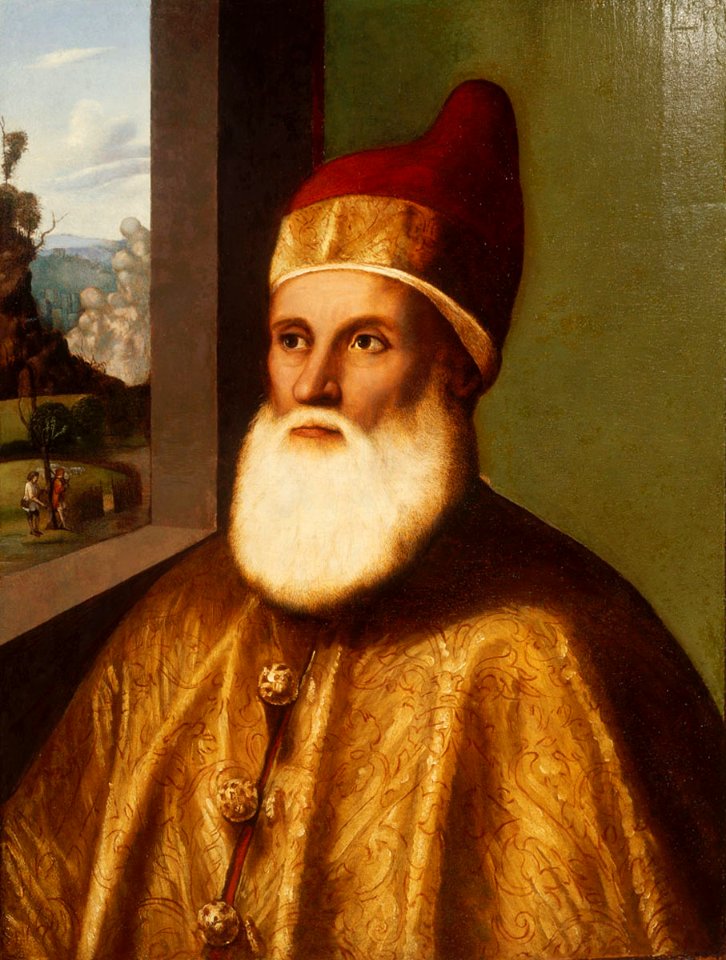
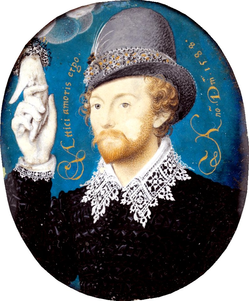
portrait paintings of bearded men
paintings by marco basaiti
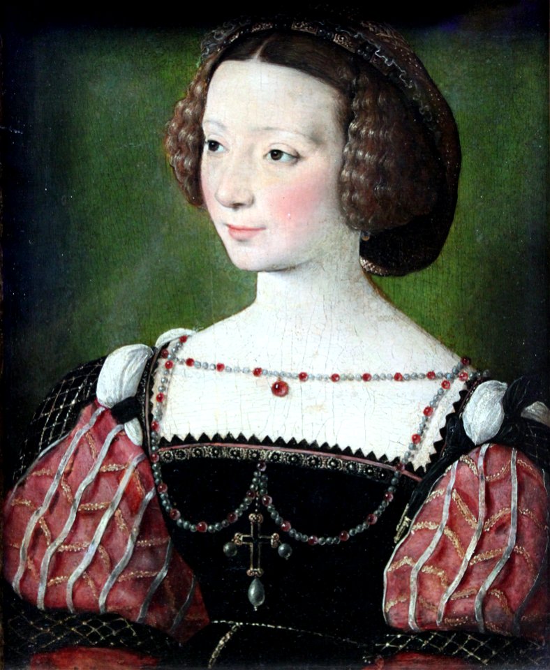
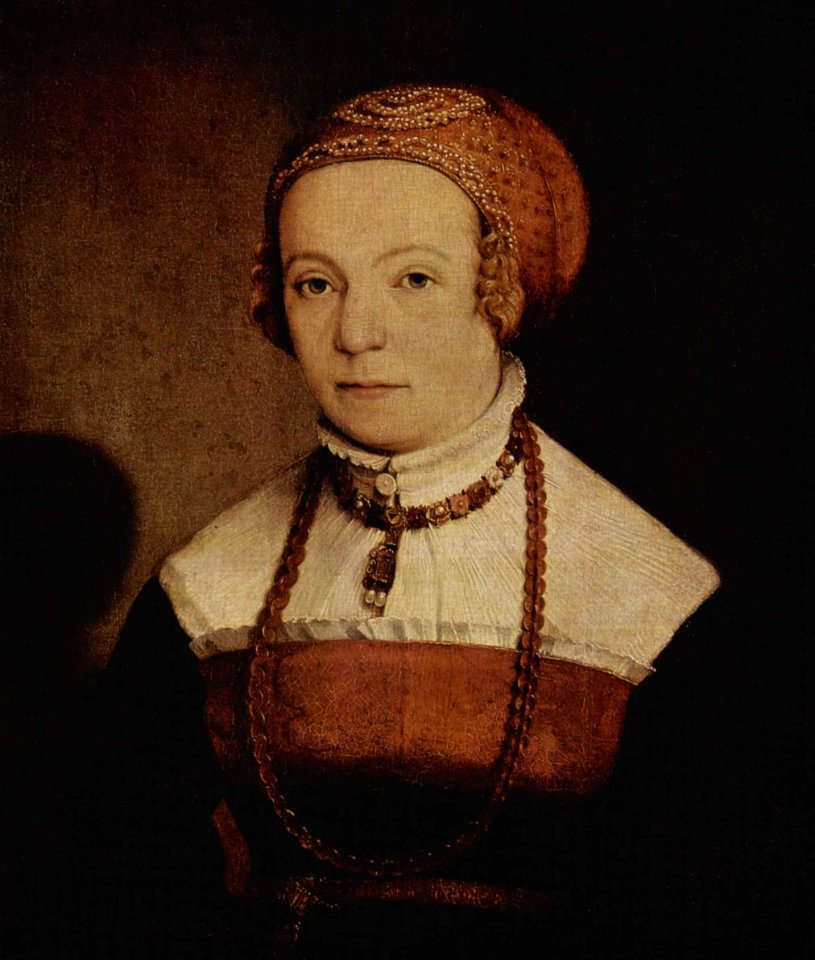
1540s portrait paintings of women
facing left
1620s paintings in the united states
rogers fund
16th-century portrait paintings of unidentified men
portrait paintings of men wearing hats
16th-century paintings of the descent from the cross
paintings by colijn de coter
16th-century paintings of madonna and child from italy
16th-century religious paintings from italy in germany
6901 - 7000 of 33,716
Next page
/ 338